Location Page
The Location view shows live traffic or, if no live data is available, jumps to the latest available data.
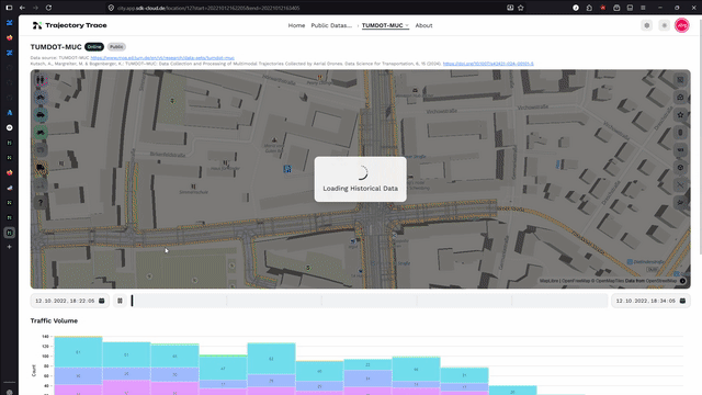
Timeline
- Start and end time can be set freely. Long durations (> 7 days) may cause slow loading.
- Single click on a histogram bar sets the cursor to that time. Double click also updates the boundaries.
- The Play button animates the cursor through the selected time range. The Live button switches to real-time mode.
- Events are shown below the histogram. Clicking one jumps to that time.
- To create an event, hover over the timeline cursor and click Create Event.
Map Layer Toggles
The icon buttons in the top-right corner toggle map layers on/off:
| Toggle | Description |
|---|---|
| Heatmap | Traffic density hotspots |
| Custom Map | Uploaded GeoJSON overlay |
| Events | Event markers |
| Traffic Lights / Sensors | Sensor positions |
| Detector Loops | Loop detector overlays |
| 3D Bounding Boxes | 3D object outlines |
| Trajectory Lines | Movement paths |
| Smoothed Trajectories | Switch raw/smoothed trajectories |
Class Filter
The buttons in the top-left corner show/hide entity classes: Pedestrian, Bicycle, Car, Motorcycle, Bus, Truck, E-Scooter, Unknown. They are grey, if this class is not available in the selected time range.
Settings
Must be logged in. Accessible via the navbar.
- Info: Edit name, description, logo and thumbnail.
- Visualization: Adjust marker size, retention threshold, trajectory width/duration, default zoom. Use
Store Current Togglesto save the active layer defaults. - Custom Map: Upload a GeoJSON overlay and configure its colors and line/fill styling.
- MQTT: View the ingest topic and generate credentials for a new data source.
- User Management: Add users to the location.
- Danger Zone: Delete the location and Retention.